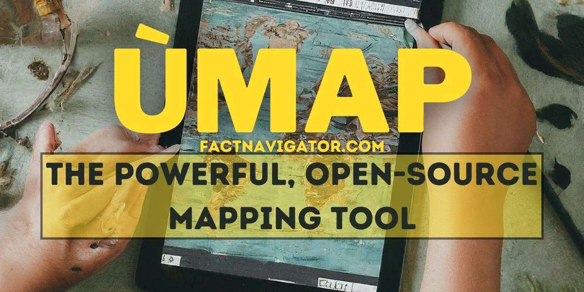
ùmap: Open-Source Maps Without Big Tech
1. What is ùmap?
ùmap is a powerful, open-source mapping platform that empowers you to create custom, interactive maps without relying on big tech map providers. This versatile tool offers remarkable freedom and flexibility for a variety of mapping projects. Let’s break down its key features:
Markers: Effortlessly pinpoint specific locations on your map with customizable markers. Add titles, descriptions, and even images or links to enrich your location information.
Layers: Organize your map content thematically with layers. Group different types of markers, shapes, or data for a clear and structured presentation.
Shapes: Draw directly on your map. Include lines, polygons, and circles to highlight routes, define areas, or emphasize regions of interest.
Data Embedding: Go beyond simple markers. Embed rich media like photos, videos, and even external web content to turn your ùmap into a compelling, multimedia experience.
1.1 The Technology Behind ùmap
ùmap leverages two foundational open-source projects to deliver its functionality:
Leaflet: This popular JavaScript library is the driving force behind ùmap’s smooth interactivity. Leaflet renders the maps, handles zooming, panning, and the display of map data.
OpenStreetMap: OSM serves as the primary base map for ùmap. This collaborative project provides worldwide geographic data, ensuring your maps have a reliable and comprehensive foundation.
2. Why Use ùmap?
ùmap stands out from commercial mapping solutions with several compelling benefits:
2.1 Open-source (free, customizable, flexible)
Cost-effective: No licensing fees or subscription costs mean ùmap is accessible for any project regardless of budget.
Adaptable: Tailor ùmap to your exact needs. Change the look, add specific functions, or integrate it with other tools thanks to its open-source nature.
Reliable: With a large community of developers and users, you can trust that ùmap will be actively maintained and supported into the future.
2.2 Privacy-focused (no reliance on third-party mapping services):
Control Your Data: You decide where your map data is hosted and who has access to it. Avoid the data collection practices of large map providers.
Ideal for Sensitive Projects: Work on maps containing confidential or personal location information without concerns about third-party tracking.
2.3 Ease of use
Intuitive Interface: ùmap’s interface is designed to be user-friendly, even for those without extensive technical expertise.
No Coding Required (Mostly): Create basic maps and add content without needing programming skills.
Community Support:
Helpful Documentation: Detailed resources and tutorials guide you through using ùmap effectively.
Active Forums: Get assistance from experienced users on ùmap’s community forums or help others learn.
2.4 Popular Use Cases
Collaborative projects (e.g., community event maps): Enable groups to work together in real-time, building maps featuring locations, updates, or relevant resources for shared projects.
Journalism and storytelling (data-driven maps): Visualize data geographically to add context and depth to news reports or investigative pieces. Embed supporting evidence directly in the map for richer narratives.
Personal travel and hobby mapping: Plan your ultimate trip itinerary, track your outdoor adventures, or map your favorite local spots in a unique, personalized way.
Embedding maps in websites and blogs: Seamlessly integrate interactive ùmaps into your online platforms, adding visual appeal and functionality without the limitations of static map images.
Also Read: The Eerd River: Unraveling a Natural Enigma
3. Getting Started with ùmap
Ready to make your own custom map? Here’s a step-by-step breakdown:
- Go to the ùmap website: The main site is usually found at https://umap.openstreetmap.fr, but there might be alternative instances.
- Click “Create a map”: Look for a prominent button to start the map creation process.
- Find your starting point: Navigate the map to the area you want it to focus on. Use the search bar, pan by dragging, and zoom controls to pinpoint your desired location.
- Add a marker: Click the marker icon in the toolbar. Click on the map where you want to place your marker. A pop-up will appear.
- Give it a name and description: Provide context for what this location represents.
- Customize (optional): Change the marker’s icon or color for better visual organization.
- Explore basic customization:
- Change the basemap: Choose from different map styles (e.g., satellite, terrain) through the layers menu.
- Draw a shape: Use the line, polygon, or circle tools and click on the map to create your desired shape.
3.1 Hosting Your ùmap
After crafting your awesome ùmap, you have two primary options for making it accessible to yourself and others:
I. Self-hosting
Self-hosting your ùmap offers the ultimate level of control and customization. You’ll determine exactly where your map data resides and how it’s presented. This method is ideal if:
- Maximum Privacy: You have full control over your data and who can access it.
- Customization: You want to heavily modify how ùmap looks and functions.
- Technical Knowledge: You (or someone on your team) are comfortable setting up and maintaining a web server.
II. Using a service like umap.openstreetmap.fr
If you want a quick, user-friendly way to get your map online, then using a dedicated ùmap hosting service is a great choice. umap.openstreetmap.fr is a popular option, providing a free and easy platform for hosting your maps. Advantages of this approach include:
- Simplicity: No technical setup is required on your end. Create your map and get a shareable link immediately.
- No Cost (up to a point): Basic map hosting is free, perfect for small projects or testing ùmap.
- Community: You’re part of a larger ùmap ecosystem, making it easy to find examples and get assistance if needed.
Important Note: Services like umap.openstreetmap.fr may have limits on storage space, customization options, or advanced features for their free tier. Consider upgrading if those limitations become an issue for you.
3.2 Where to Find Help
The journey of learning any new tool is smoother with the right support. Luckily, ùmap boasts a helpful community and excellent resources to get you up to speed or unstuck:
- ùmap Documentation: This is your first stop for comprehensive and well-organized information on all aspects of using ùmap. The official documentation covers everything from basic map creation to advanced functionalities. Find it by searching online for “ùmap documentation”.
- Community Forums: Connect with experienced ùmap users, ask questions, and get advice in a friendly environment. The forums are a treasure trove of tips, tricks, and inspiration. There’s likely a dedicated ùmap forum, findable through a web search.
Beyond the Basics
- Project-Specific Tutorials: Websites, blogs, or video channels dedicated to mapping often have specific ùmap tutorials tailored to interesting use cases. Look for examples related to your type of map project.
- OpenStreetMap Resources: Since ùmap relies heavily on OpenStreetMap, understanding the wider OSM ecosystem can be beneficial. Explore OpenStreetMap’s extensive documentation and community to learn more about this collaborative mapping project.
4. Advanced ùmap Techniques
Take your ùmap creations to the next level! Master these techniques to produce truly unique and engaging maps.
4.1 Customizing Map Appearance
Go beyond the default map look and tailor the aesthetics to perfectly suit your project:
- Tile Layers: The basemap is the canvas for your map. Choose from various tile layer options:
- Standard OpenStreetMap: The classic map style.
- Satellite Imagery: For a real-world photographic view.
- Terrain: Emphasize elevation for outdoor maps.
- Specialty Providers: Search online for even more options like historical maps, watercolor tiles, or artistic styles.
- Color Schemes:
- Presets: Explore built-in color palettes for your markers, lines, and shapes.
- Custom Colors: Use a color picker tool or hex codes for full control over the visual scheme of your map.
- Marker Styles:
- Icons: Select from the vast library of pre-made icons, or upload your own custom images to mark locations.
- Styling: Tweak the size, color, and even add dynamic effects to your markers.
4.2 Importing and Embedding Data
Transform your ùmap into a rich information hub with these data integration techniques:
- GeoJSON: This standard format is perfect for adding complex geographical data:
- Import: Load existing GeoJSON files directly into your map.
- Create: Some online tools allow you to draw shapes and export them as GeoJSON for use in ùmap.
- CSV: If you have location data in spreadsheets, CSV (Comma-Separated Values) imports smoothly:
- Formatting: Ensure your CSV has clear columns for latitude, longitude, and any other relevant data.
- Embedding Media:
- Photos and Videos: Link directly to images or videos hosted online to add visual context to your markers.
- Web Content: Embed elements from other websites (articles, social media posts) for truly interactive maps.
4.3 Plugins for Enhanced Functionality
Expand the capabilities of ùmap with popular plugins. Here are some powerful additions:
- Search: Enable users to easily search locations on your map.
- Clustering: For maps with many markers, clustering plugins improve performance and visual clarity.
- Drawing Tools: Allow users to add their own shapes and annotations directly onto your map.
- Specialized Functionality: Seek out plugins catering to your specific use case, such as heatmaps, routing tools, or integrations with data analysis software.
5. Inspiring ùmap Examples: Showcase Creative and Effective Uses
Get inspired by how others are leveraging ùmap across different use cases:
- Community Mapping:
- Neighborhood Resource Map: A local organization creates a detailed ùmap with essential locations like schools, libraries, parks, and community centers.
- Historical Event Map: History buffs collaborate on an ùmap chronicling major historical events within a city or region, complete with embedded photos and archival documents.
- Journalism & Storytelling:
- Investigative Report Map: Journalists overlay pollution data onto a ùmap, visually exposing the impact on surrounding communities.
- Election Results Visualization: A news outlet creates a dynamic ùmap displaying real-time election results, with colors and markers representing different parties or candidates.
- Personal Projects:
- Vacation Planning Map: A traveler maps out their dream itinerary complete with hotel options, must-see attractions, and even restaurant recommendations directly on their ùmap.
- Local Hobbyist Map: A cycling enthusiast creates a ùmap featuring the best trails in their area, sharing it with fellow bikers.
- Embedding in Websites & Blogs:
- Business Locations Map: A company embeds a sleek ùmap on their website showcasing their offices, stores, or project sites.
- Travel Blog Enhancements: A travel blogger integrates interactive ùmaps within their posts, providing readers with a visual journey along with their written stories.
Conclusion
ùmap’s flexibility makes it an incredibly adaptable tool. Whether you’re working collaboratively, telling compelling data-driven stories, planning personal adventures, or enhancing your online content – ùmap empowers you to create maps that are uniquely your own.
Ready to start exploring? Head to umap.openstreetmap.fr or find other ùmap instances and unleash your mapping creativity!